Hiking
Start planning your Arrow Slocan adventure today! Access essential tips, and local insights to make your journey seamless, unforgettable, and perfectly aligned with your sense of adventure.
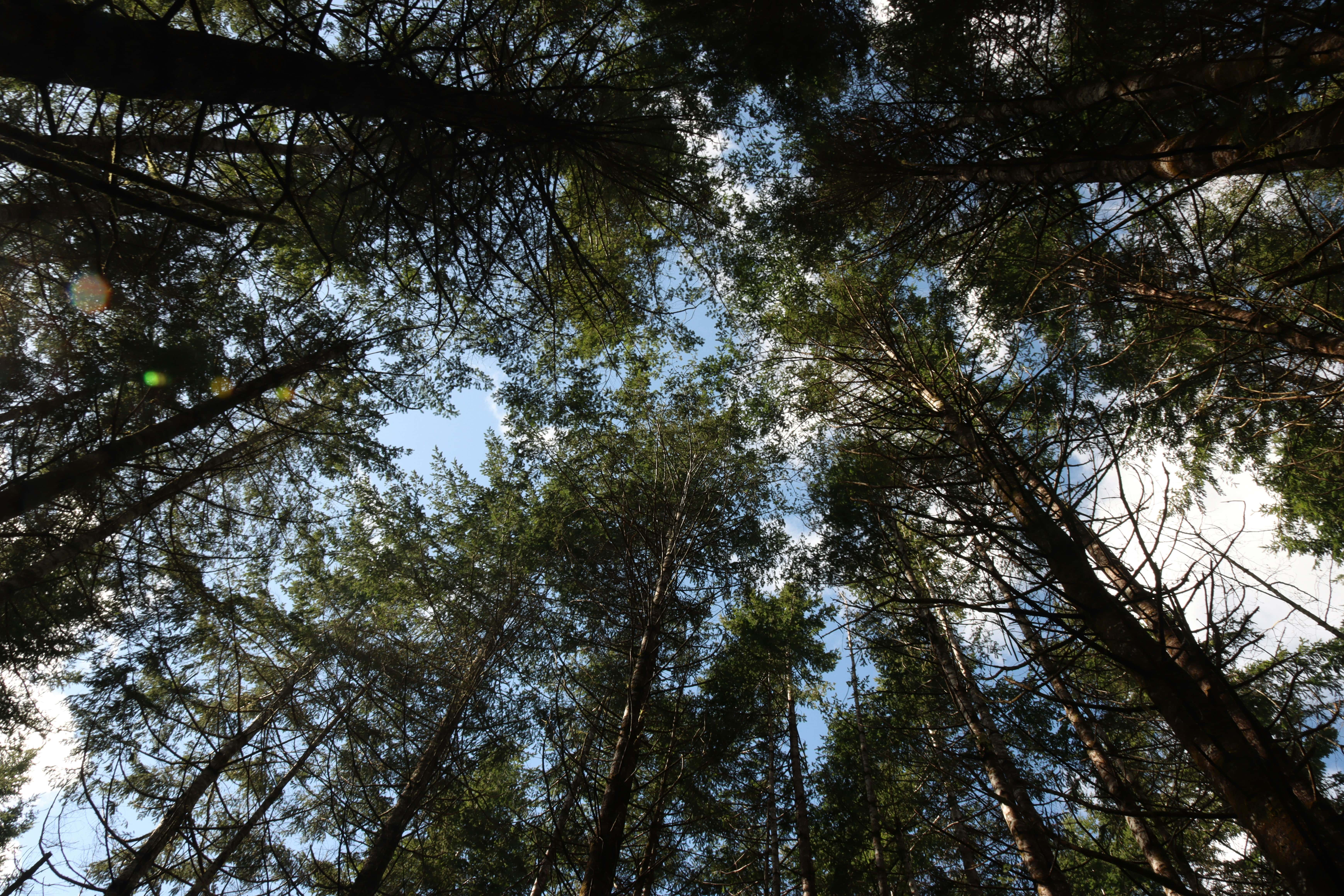
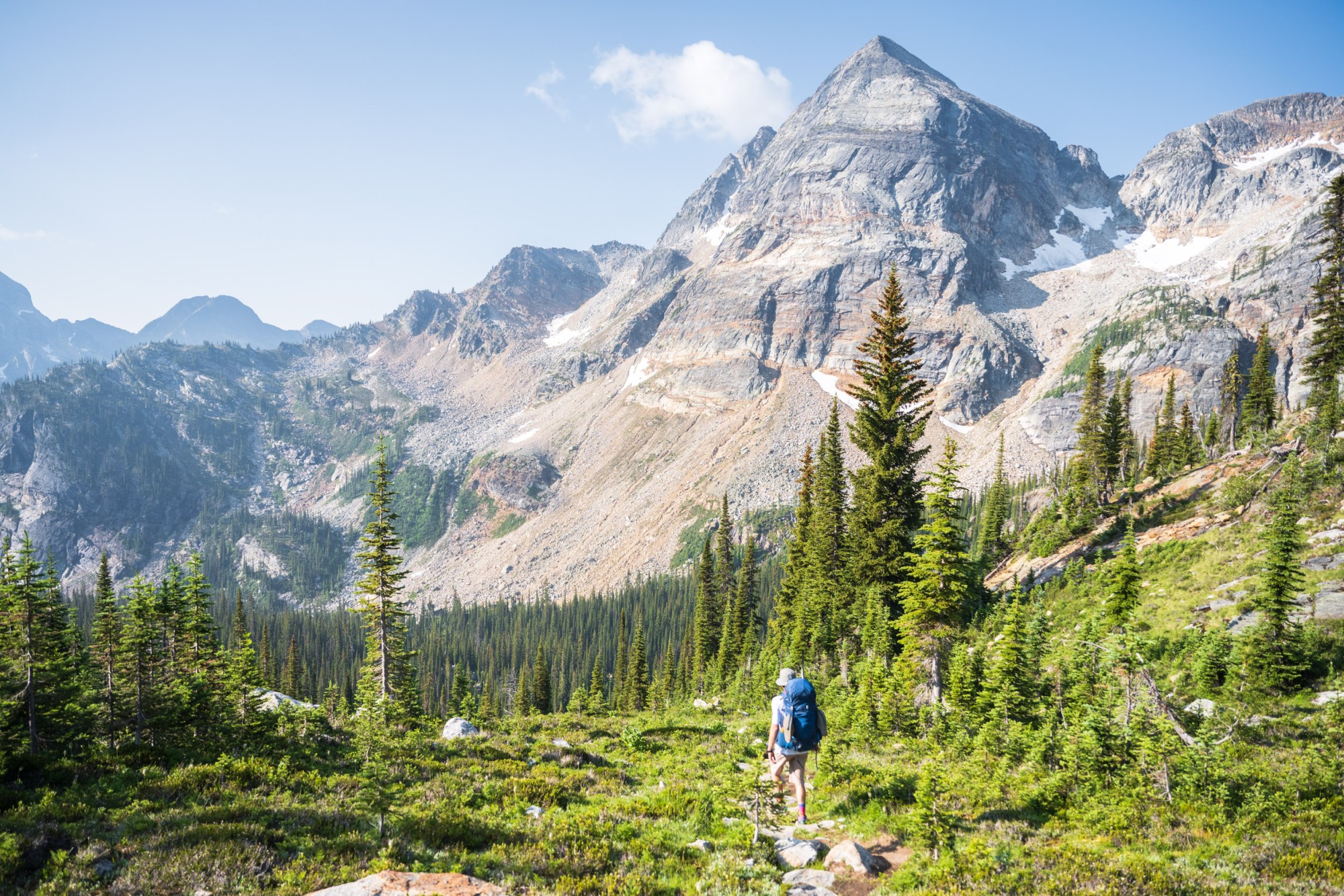
Waterfront walkways & alpine switchbacks
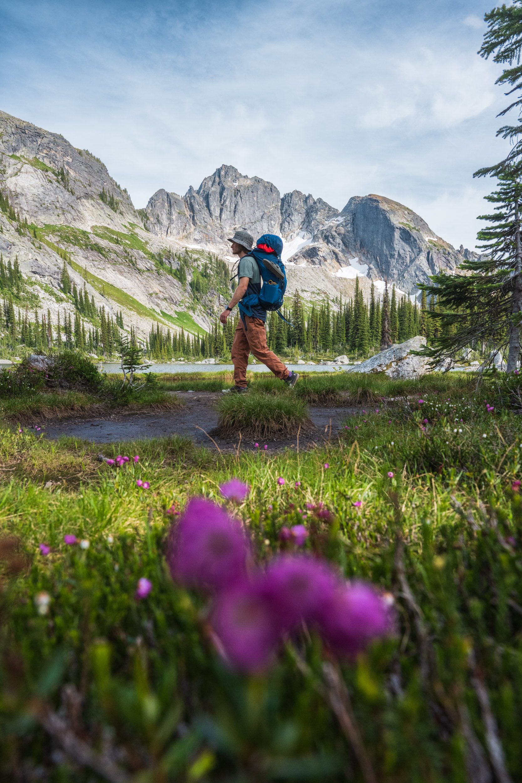
Whether you’re drawn to the majestic peaks of Valhalla Provincial Park or the serene beauty of the Slocan Valley, this region offers unparalleled hiking experiences where lush forests meet rugged mountains and crystal-clear waters.
Explore hidden gems, discover unique flora and fauna, and create unforgettable memories on the many trails that wind through this captivating region.
Guided Trips
From curated guided and catered adventures, climbing excursions, yoga retreats, family trips, women’s specific hiking or running retreats to lodge rental with or without guiding and catering – these operators have it all.
Popular Trails
Explore lush valleys, traverse rugged mountain passes, and discover hidden waterfalls along these scenic paths. Whether you seek a leisurely afternoon stroll or a challenging multi-day trek, our trail networks offer something for every adventurer.
Easy to moderate
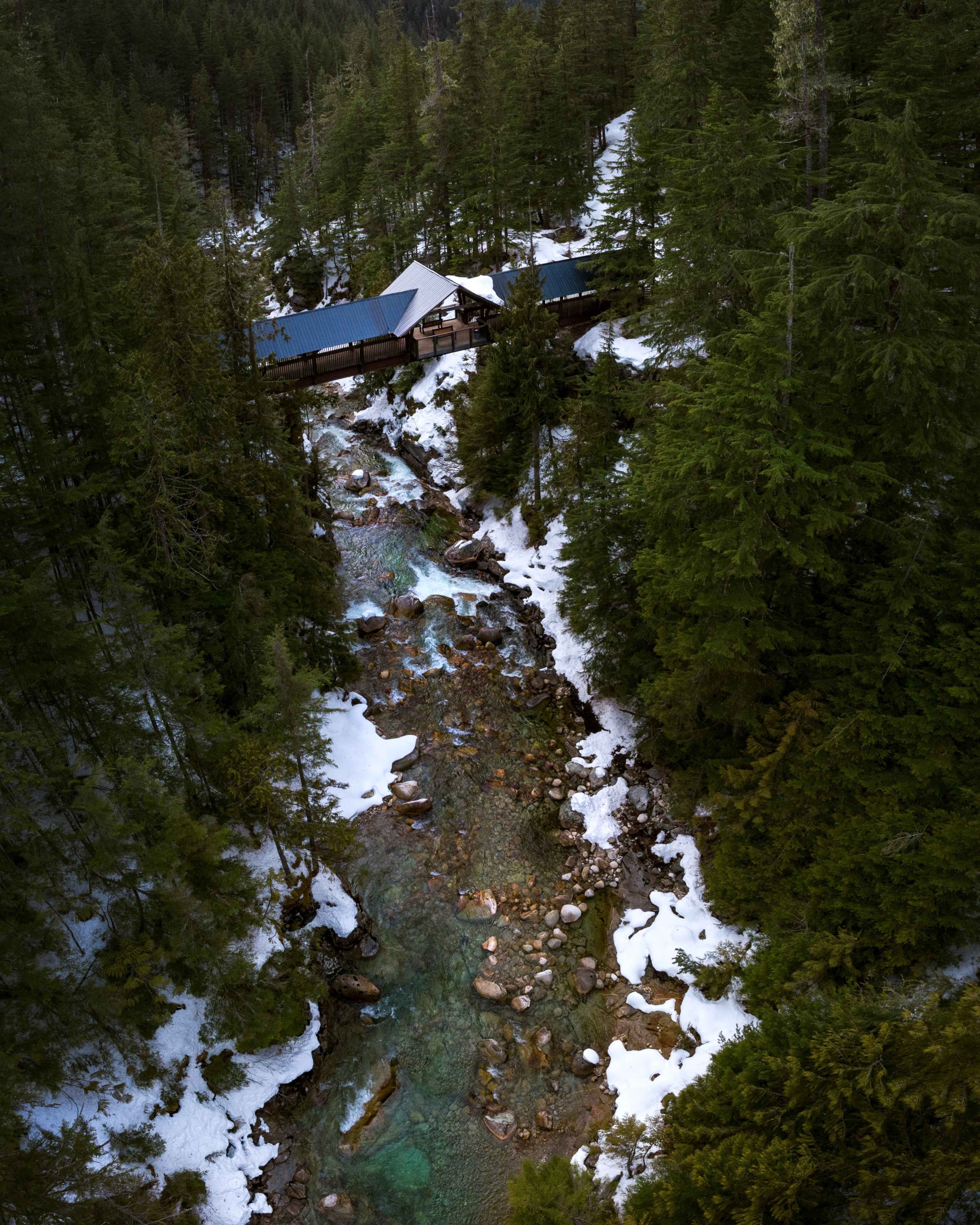
This easy/moderate 8.5 km trail meanders along the Kuskanax Creek from just outside of Nakusp, up the valley to the Nakusp Hot Springs. The trail crosses the impressive, covered Kuskanax Creek foot bridge just a short walk from the hot springs.
Easy to moderate
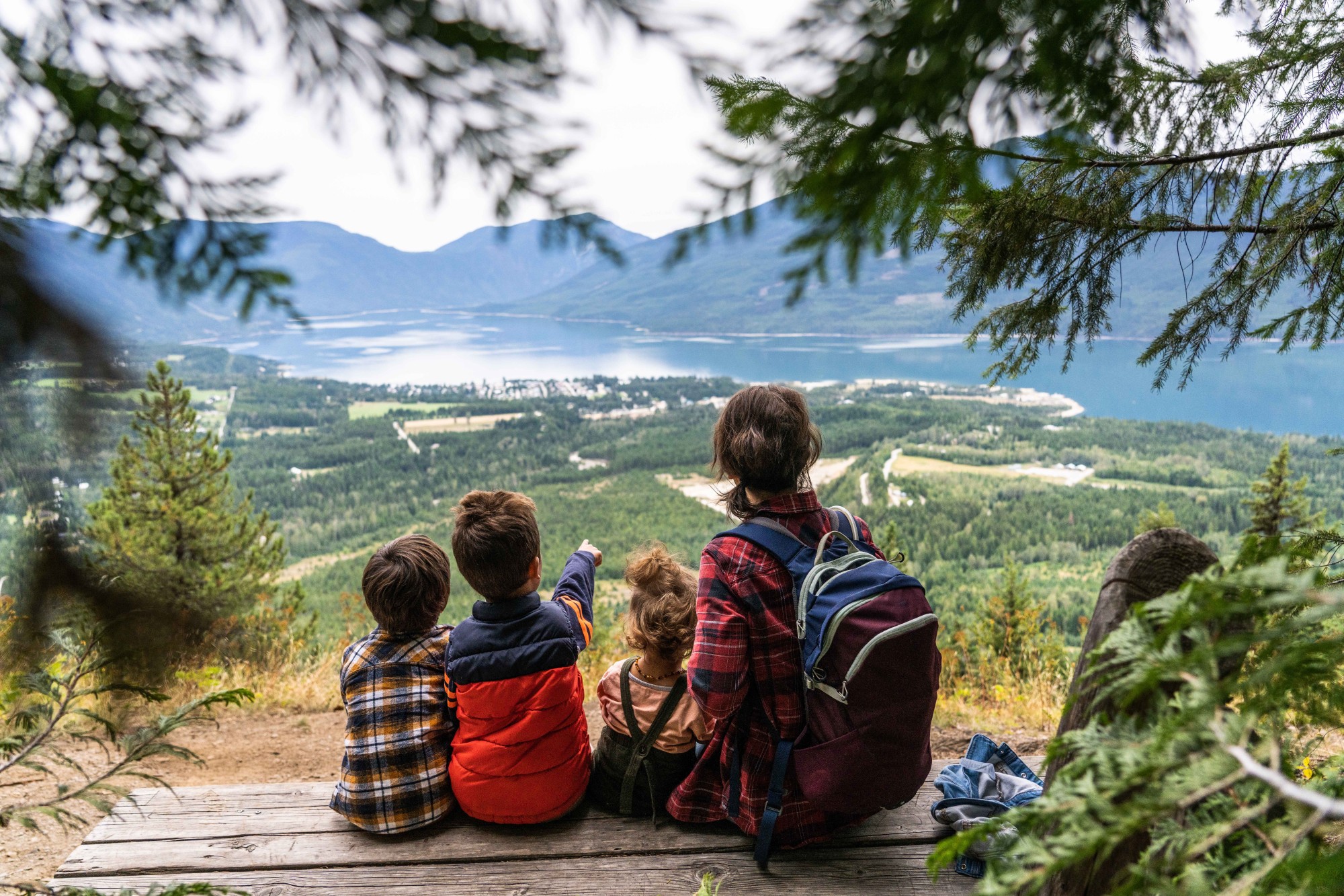
An easy to access and spectacular viewpoint close to town. Vicky’s View is reached via the Kuskanax Mountain Road. A short walk through the forest is rewarded with awesome views of Nakusp, Monashee and Valhalla Ranges, as well as Upper Arrow lake.
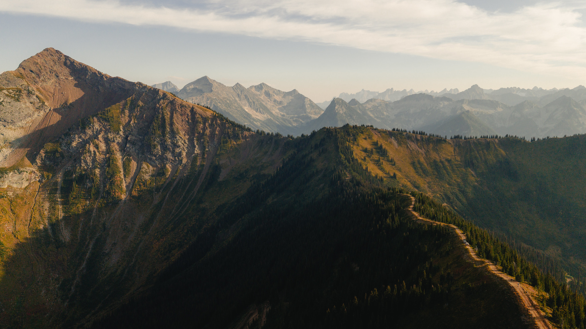
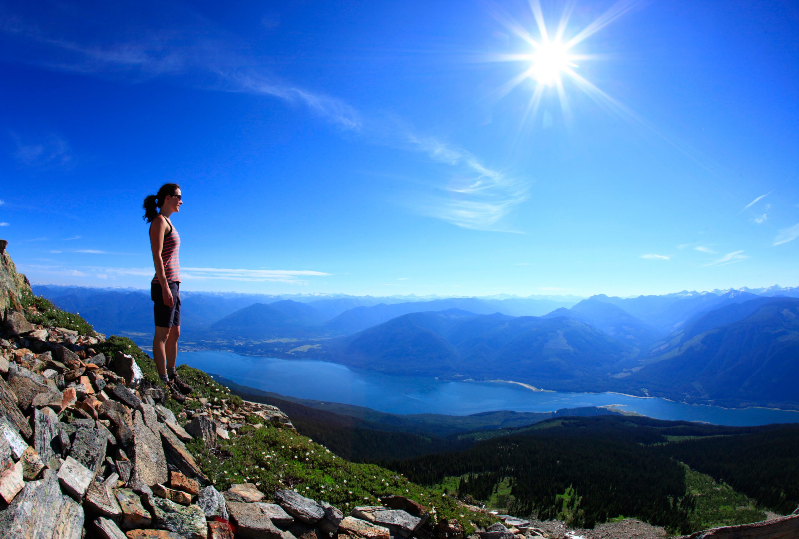
Moderate to challenging
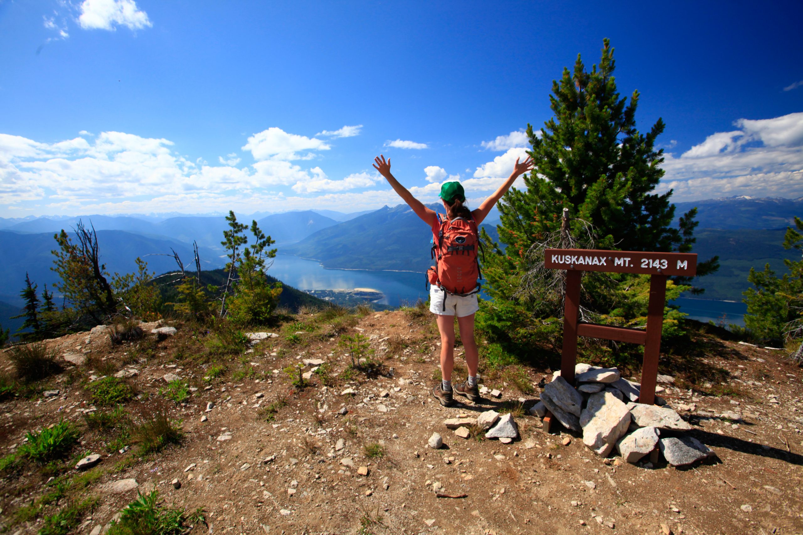
This hike to a summit offers spectacular 360° views of the surrounding mountain ranges. There are two options for hiking to the summit, one moderate (2.4 km) and one challenging (4.4 km).
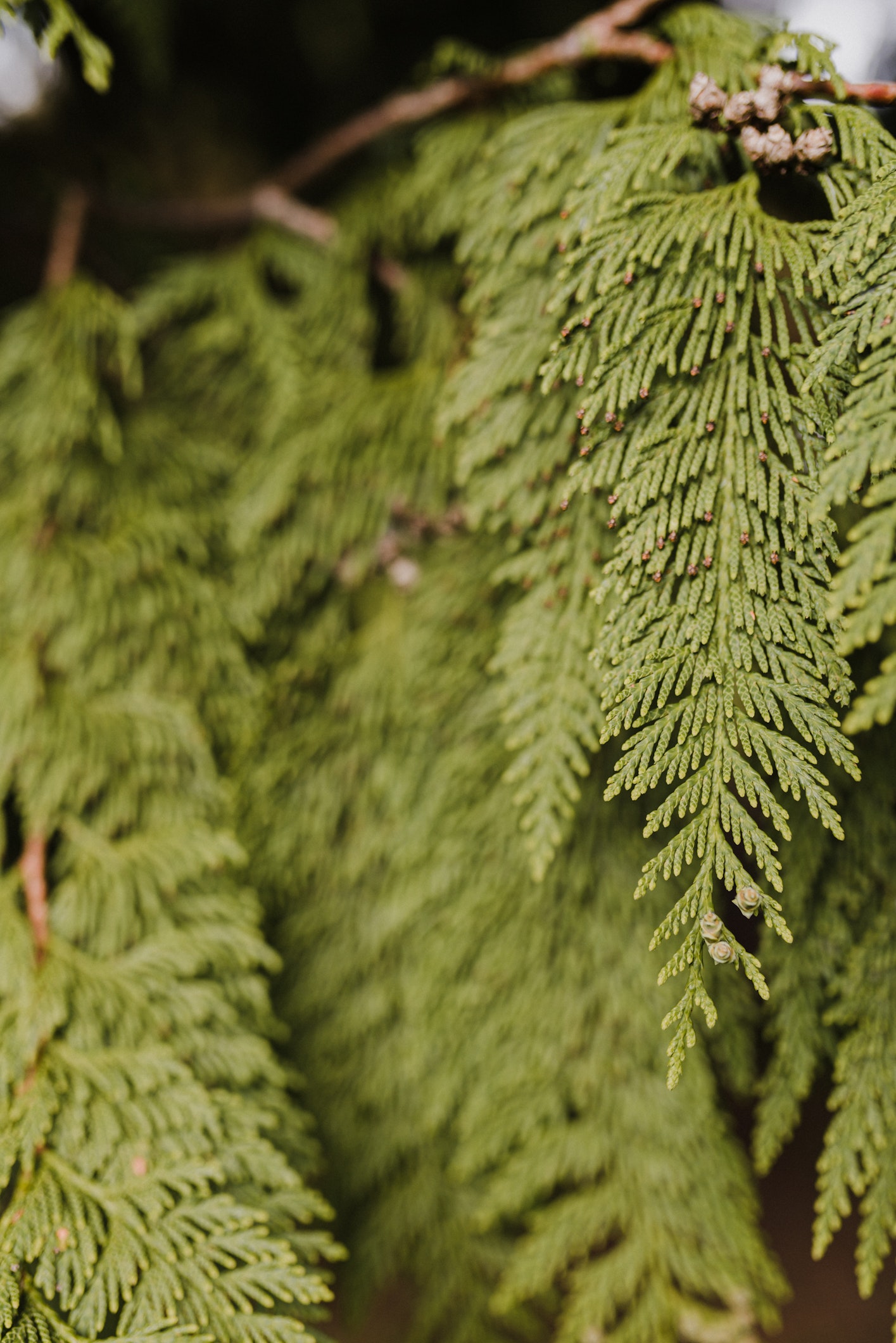
Easy
A gentle half kilometer loop through a stand of majestic old growth Western Red Cedar trees.
Easy to moderate
Cross the impressive, covered Kuskanax Creek wooden footbridge just a short walk from the hot springs and continue through cedar and hemlock forests along the southern slope of the Kuskanax Creek valley to the subalpine lake. The easy/moderate hiking trail is 4 km each direction.
Easy
The easy 1.3 km loop provides a gentle walk through a second growth cedar/hemlock forest typical of most valleys in this area.
Moderate
The moderate hiking trail ascends 5.3 km to a rocky knob on Saddle Mountain that sits above the treeline. The peak was chosen as a Forest Service fire lookout because of the panoramic view of the surrounding peaks and valleys.
Easy to Moderate
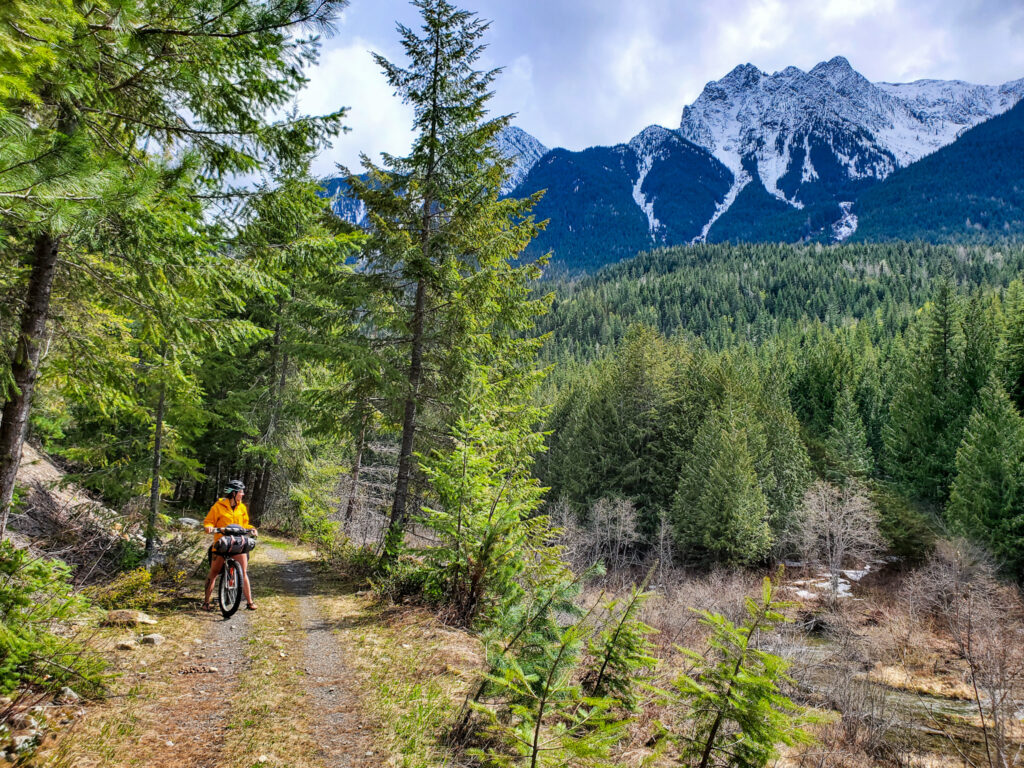
Follow the old rail line 46 km from the Village of Nakusp to Summit Lake.
Moderate to challenging
This hiking trail is a favourite in July and August because of the spectacular alpine meadows bursting with wildflowers. From the parking lot it is a 2 km hike to the summit. The 12 km road to the parking lot is currently washed out and a repair date is unknown. To access the trail, hike up the 8.6 km Wakefield trail that starts at 4 Mile Creek Rd near Silverton.
Moderate to challenging
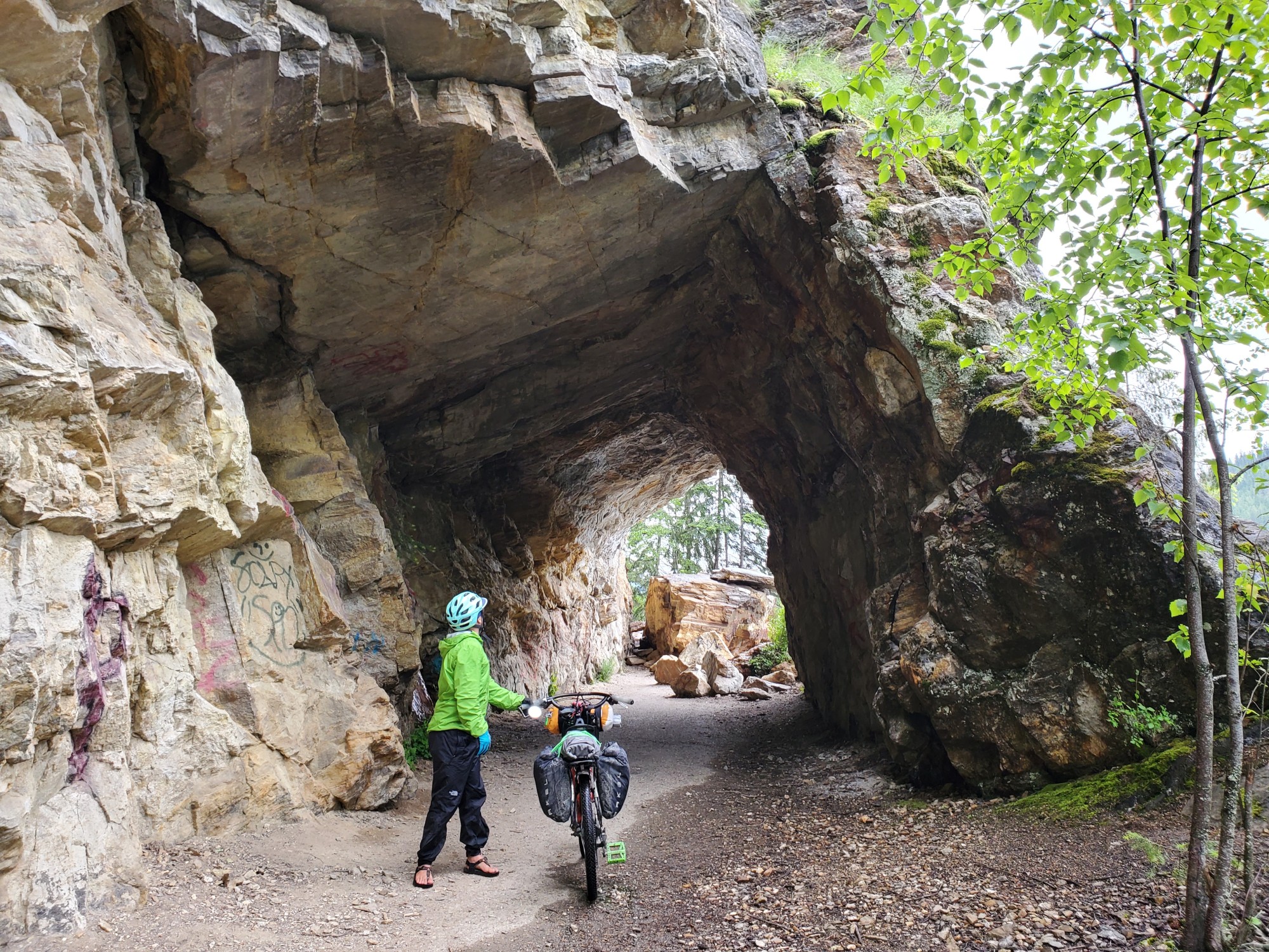
The Galena Trail is a 13 km section of old CPR rail line that runs from Rosebery to Three Forks. It makes for excellent hiking and mountain biking. Carpenter Creek can be crossed at the old Alamo mine site by a small cable car.
Moderate to challenging
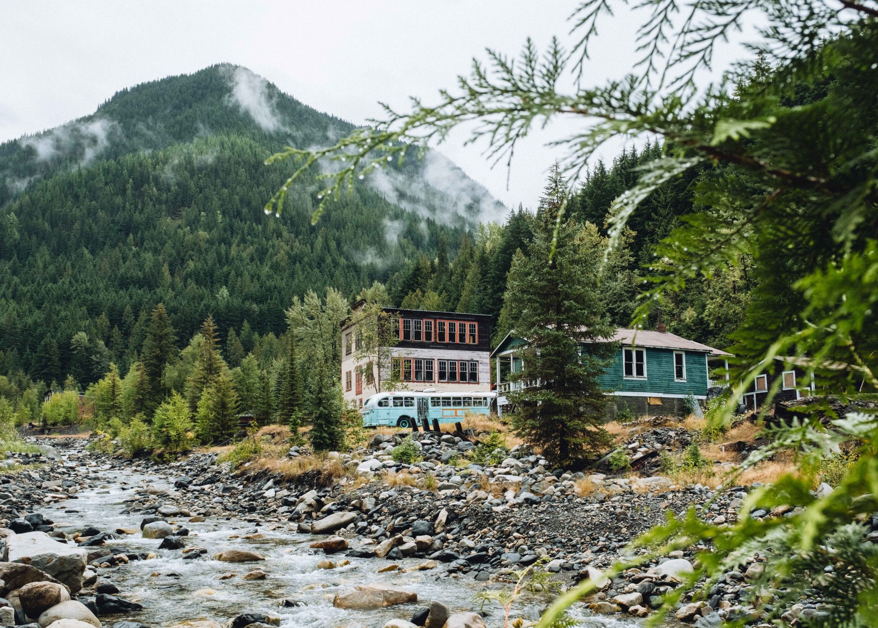
The historic trail runs along the south side of the Carpenter Creek eventually meeting Galena Trail in Three Forks. From here, connection to the K&S Rail Trail will take hikers to Sandon and beyond.
Moderate to challenging
Part of the former CPR line, this trail extends over 45 km from Slocan in the north, all the way down the Slocan Valley. This is a family friendly trail for hiking or biking multiple trailheads for access along the way.
Moderate
The moderate 8 km out and back hiking trail follows Slocan Lake to offer beautiful views and a multitude of swimming spots, ending at the roaring Evans Creek. This trail is exceptionally slippery when wet. Please respect Private Property at Pebble Beach.
Challenging
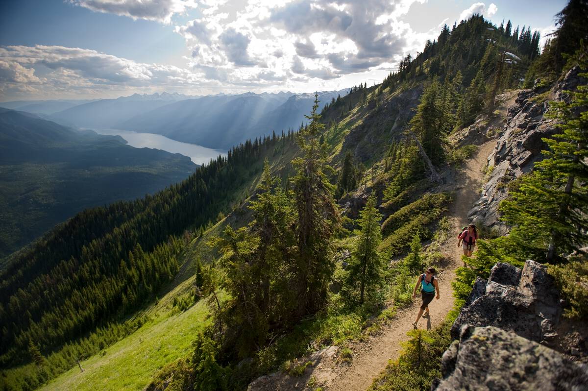
From Evans Beach on Slocan Lake, the hiking trail continues inland within Valhalla Provincial Park through forest, wetlands and past a chain of smaller lakes. There are several backcountry campgrounds along the way at Emerald and Cahill Lake until the trail finally ends at distant Beatrice Lake. This challenging hike is 12 km to Cahill Lake and 18 km to Beatrice.
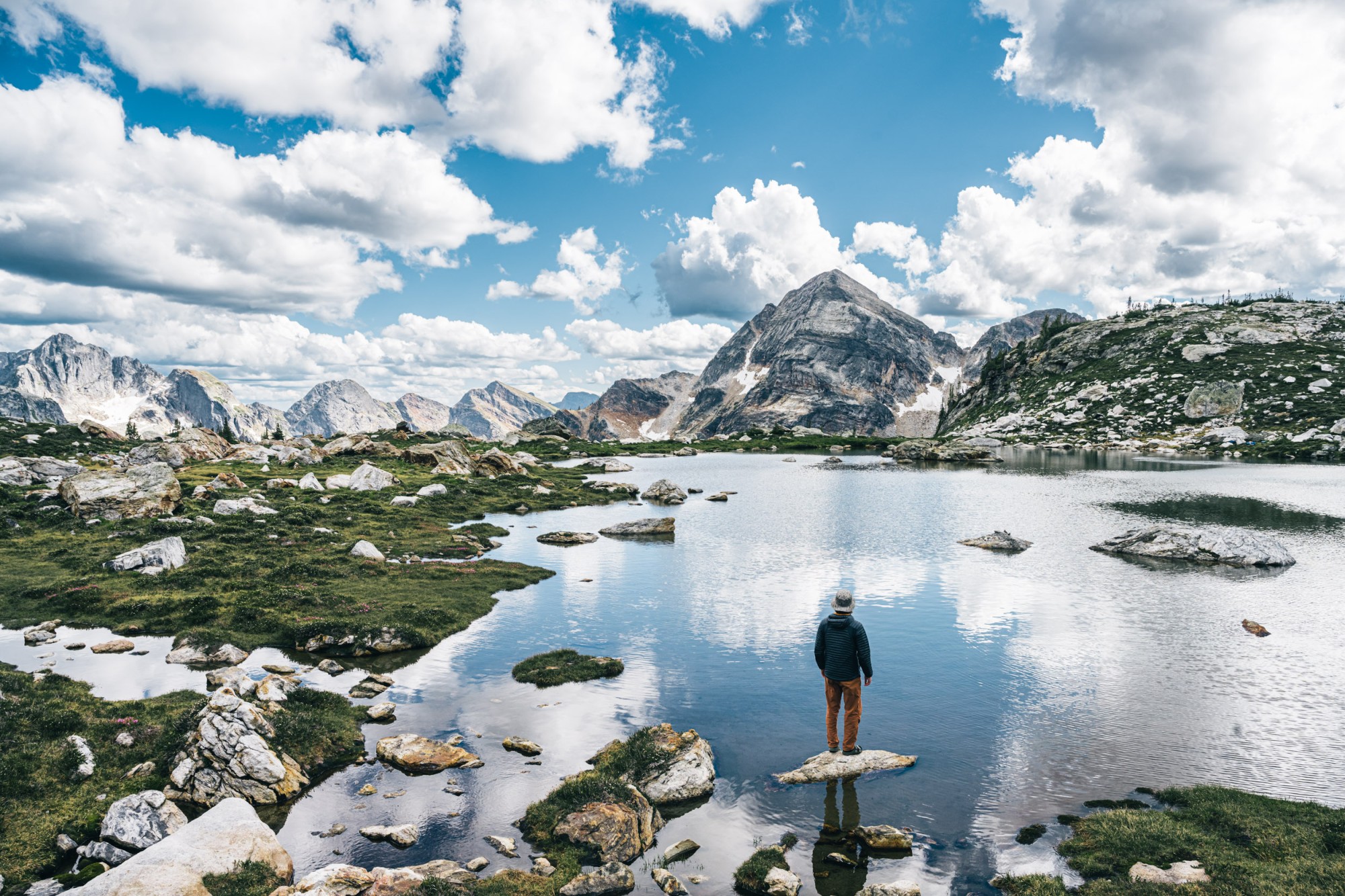
Challenging
There are numerous spectacular day hikes or backpacking trips in Valhalla Provincial Park. No shortage of lakes, tarns, wildflowers and magnificent peaks. Campsites give several options for overnighting. Be sure to get more details from BC Parks before setting out for these alpine adventures.
Easy
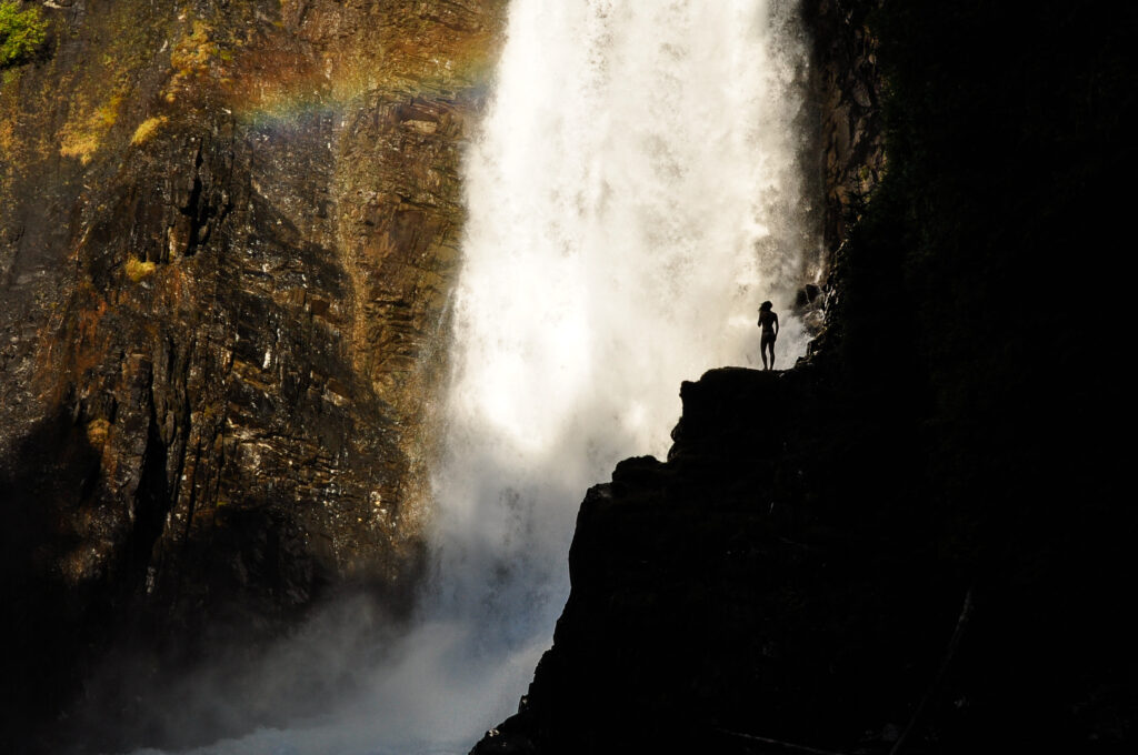
The easy 2.4 km round trip hiking trail is reached 11.5 km up the East Wilson Creek FSR near Rosebery. Located in Goat Range Provincial Park, Wilson Creek Falls plunges 63 meters down into a rocky canyon.
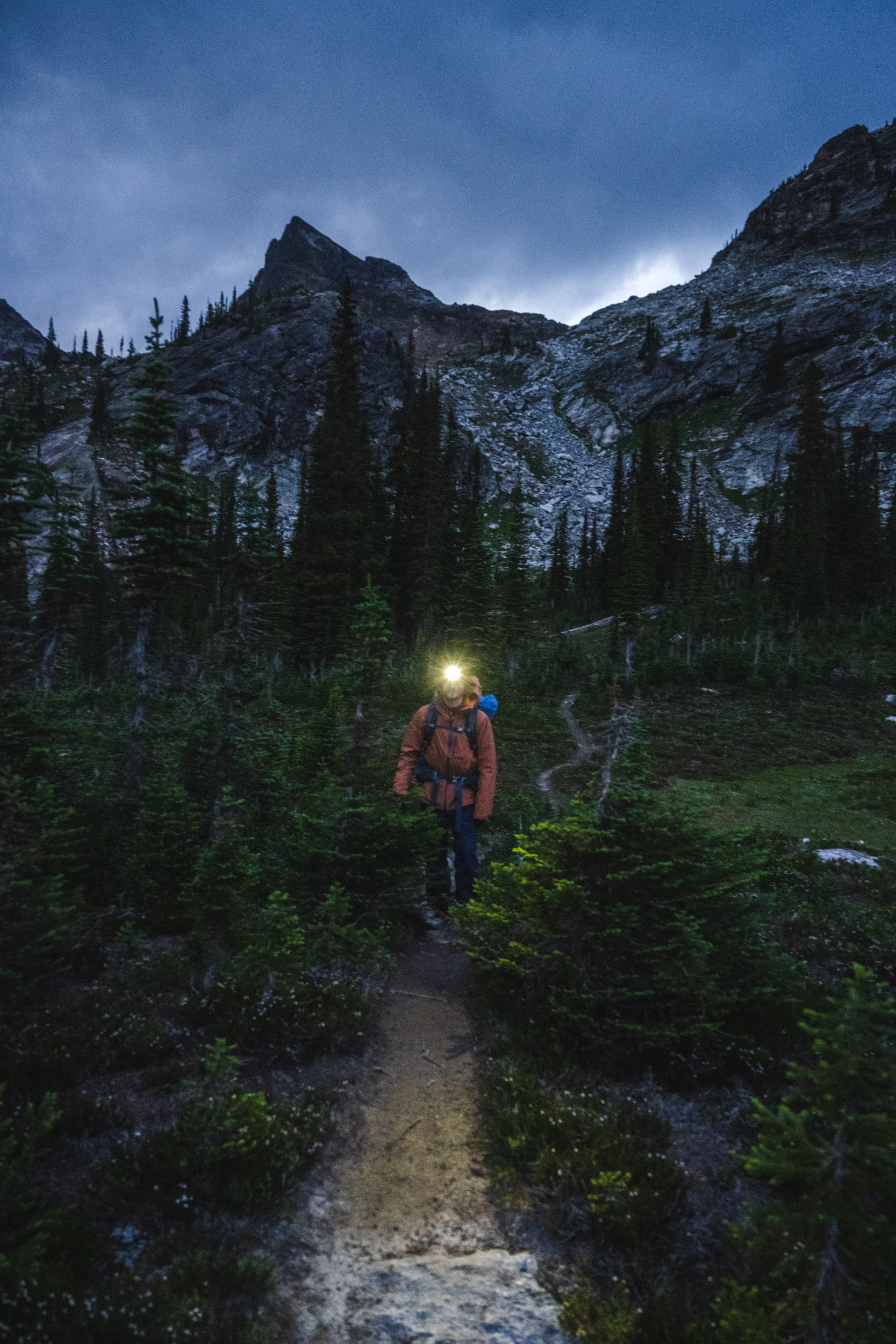
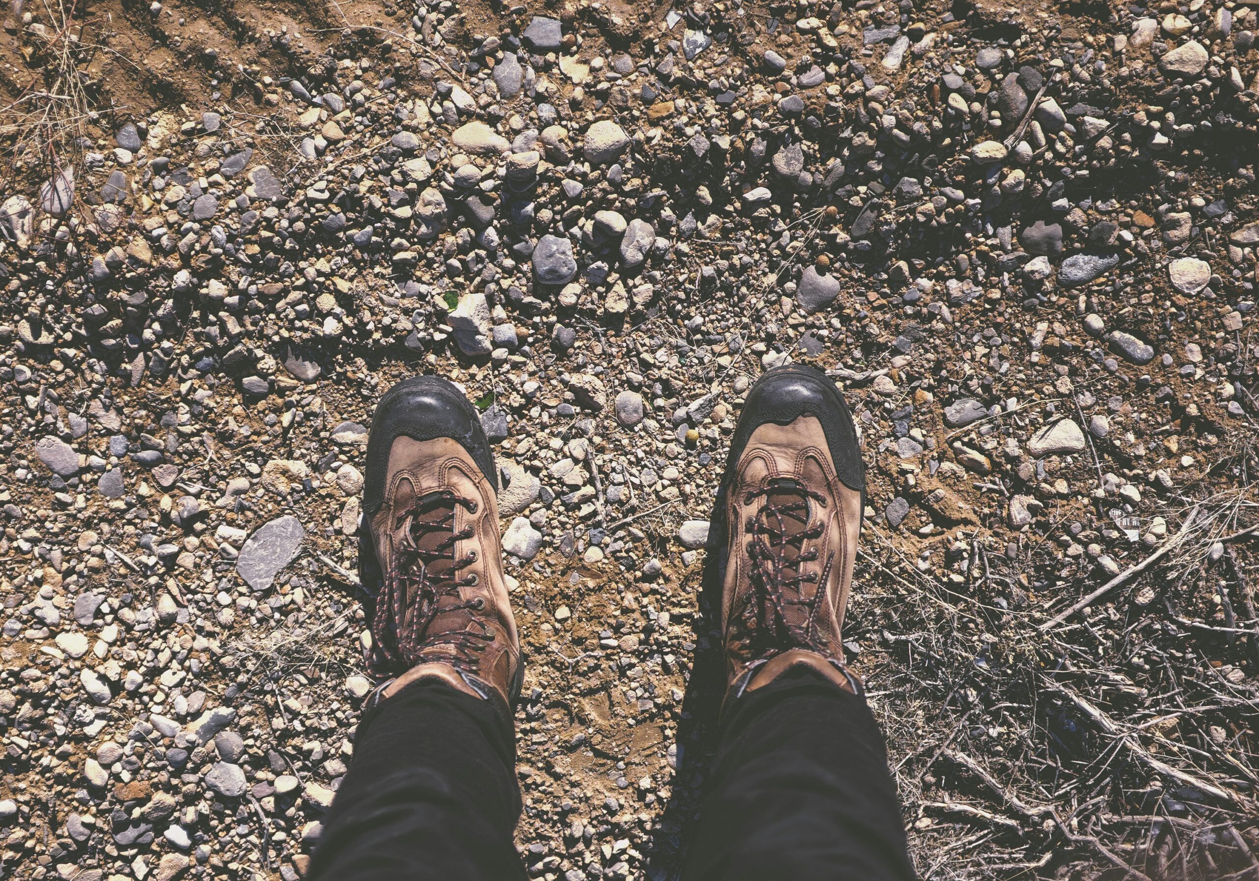
It’s imperative to hike with safety in mind and be prepared for the unexpected. From sudden weather changes to wildlife encounters, preparedness is key. Leave a trip plan, take the essentials, and know before you go.
- Rail Trails are multi-use – you may encounter hikers, cyclists, horses or motorized vehicles (when permitted). Horses always have the right of way, then people, then bikes, then motorized vehicles (where permitted).
- Slocan Valley Rail Trail, Three Forks area trails and the N&S Rail Trail south of Summit Lake are non-motorized traffic only.
- Please respect our natural environment and keep it pristine. Follow the Leave No Trace principles.
- Learn to mitigate the risks and be prepared through Adventure Smart.
There are plenty of trails and recreation societies who work hard to keep these natural spaces pristine for generations to come. Check in with a local organization or outdoor shop for up to date information on access and conditions.
- West Kootenay Hiking – this is the best resource for hiking in the Kootenays and has up to date access information.
- Nakusp & Area Community Trails Society is your go-to for info on trails around Nakusp.
- The North Slocan Trails Society is a non-profit society of volunteers whose mandate is to develop and maintain a robust and sustainable trail system in the north end of the Slocan Valley for all users and all seasons.
- Trailforks has trail reports and access information. It is free to access on your desktop computer or mobile browser.
Trail conditions and access can vary. For the latest trail report, check online (see resources above), with Visitor Centres or local outdoor shops and groups before heading out on a hiking trip.
- Access is rarely (if ever) from a paved road. Backroads can be quite rough and 4×4 is most often required.
- In mountainous terrain, right-of-way goes to the vehicle heading down-hill.
- Some alpine access roads are only open from July to October due to snowfall.
- Roads are prone to washouts and may have water bars scribed into them to prevent washouts and erosion.
Is there anything better than bringing your furry friend on your epic adventures? We know the answer, but there are some rules and regulations around where and when you are allowed to bring your dog.
- Dogs are not permitted in Valhalla Provincial Park backcountry.
- In other provincial parks, and in the Slocan Lake waterfront locations of Valhalla Provincial park, dogs are permitted when on a leash.
- These restrictions are in place to protect you, them, and the wildlife in our parks.
- If you need to take your dog hiking with you, do so only in areas where dogs are permitted, keep them on a leash and pack out their poop to stop disease transmission to wildlife.
Share Your Adventures
We love seeing how you spend your time in Arrow Slocan. Be sure to tag us on socials @arrowslocan or #ArrowSlocan.